Drone Survey Services in San Marcos, TX
From Texas State University and the outlet mall corridor to the environmentally protected San Marcos River and Flash Flood Alley, San Marcos is the midpoint of the I-35 Austin-San Antonio growth corridor, where university, commercial, and environmental survey demand converge in the simplest airspace on the corridor.
Serving Hays County & the Austin-Round Rock-Georgetown area
Request a Free Quote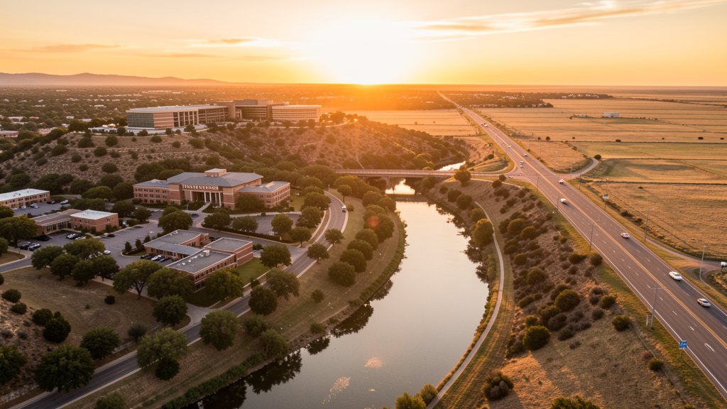
Get Matched With a Local Surveyor
Drone Survey Services Available in San Marcos, TX
The Austin-Round Rock-Georgetown metro is one of the fastest-growing in the US, and San Marcos anchors its southern edge at the midpoint of the I-35 corridor to San Antonio. Hays County was the fastest-growing county in the US from 2010-2020. San Marcos is driven by Texas State University (38,000+ students), the massive outlet mall corridor, master-planned communities, and the environmentally protected San Marcos River. The city sits in Flash Flood Alley at the Balcones Escarpment, creating specialized post-flood survey demand. Most of the city is in uncontrolled Class E airspace, making it one of the simplest cities for drone operations on the I-35 corridor.
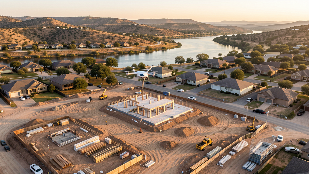
Drone Surveys for San Marcos's Construction Market
San Marcos sits on the I-35 corridor between Austin and San Antonio, one of the fastest-growing stretches in the United States. Hays County was the fastest-growing county in the US from 2010-2020. The city is home to Texas State University (38,000+ students), which drives continuous institutional, residential, and retail construction. The San Marcos outlet mall corridor (Premium Outlets + Tanger Outlets) is one of the largest outlet complexes in the US and drives commercial and hospitality construction. Master-planned communities including Blanco Vista, Quail Creek, and Elm Grove drive residential construction along the I-35 corridor. The downtown historic district is seeing adaptive reuse and mixed-use development, including the transition of the former Aquarena Center site. The SH 80 and RR 12 corridors are opening new development areas east and west of I-35. The proposed I-14 future corridor through Hays County adds long-term infrastructure construction potential.
Active Developers in the Area:
Typical Project Costs in Texas
Cost ranges are based on market data for Austin-Round Rock-Georgetown. Actual pricing depends on site size, complexity, and deliverables.
| Service Type | Low End | High End |
|---|---|---|
| Topographic Survey | $1,500 | $4,500 |
| Drone Inspection | $200 | $750 |
| LiDAR Scanning | $2,500 | $8,000 |
| Environmental Monitoring | $800 | $3,000 |
| Aerial Imagery | $150 | $450 |
| Construction Monitoring | $850 | $2,500 |
| Real Estate Photography | $150 | $400 |
| Roof Inspection | $175 | $700 |
Local Airspace & Regulations in San Marcos, TX
FAA Part 107 Requirements
All commercial drone operations in Texas require the pilot to hold an active FAA Part 107 Remote Pilot Certificate. Our network surveyors are verified Part 107 holders.
State Drone Laws
Texas Government Code Chapter 423 restricts drone use over critical infrastructure facilities, including oil and gas pipelines, refineries, power plants, and water treatment facilities. HB 1484 (2023) added protections for agricultural operations and expanded penalties for drone surveillance of private property. Commercial operators must hold a valid FAA Part 107 Remote Pilot Certificate. Texas does not require a separate state drone license, but operators flying near critical infrastructure must obtain authorization from the facility owner. The Texas Department of Public Safety maintains additional guidelines for drone operations near state facilities.
Local Ordinances
San Marcos does not issue a separate city-level drone permit for commercial operators. FAA Part 107 certification is the primary requirement. Most of San Marcos falls outside controlled airspace (uncontrolled Class E near HYI), so LAANC authorization is rarely needed for local flights. Commercial filming on city property requires a permit through the San Marcos Parks and Recreation Department. The city prohibits drone takeoff and landing in city parks without a special use permit, including Rio Vista Park, Sewell Park, and Plaza Park. Flights over the San Marcos River and Spring Lake should be coordinated with the Meadows Center for Water and the Environment due to endangered species habitat protections. Flights from private property (with owner permission) do not require a city permit but must comply with all FAA Part 107 rules and Texas Government Code Chapter 423 critical infrastructure restrictions.
Restricted Airspace
- Class C airspace around Austin-Bergstrom International (AUS) — located 30 miles north. The outer southern shelves of AUS Class C may extend into northern Hays County. Verify altitude shelves on FAA UAS Facility Maps for survey work in northern San Marcos near the county line.
- Class C airspace around San Antonio International (SAT) — located 35 miles south. The outer northern shelves of SAT Class C may extend into southern Hays County. Verify altitude shelves for survey work in southern San Marcos. The Randolph AFB Class C zone is 30 miles southeast and may affect far southeastern areas.
- San Marcos Regional Airport (HYI) — located within city limits, uncontrolled Class E airspace. No LAANC required for most flights in San Marcos. HYI has active general aviation traffic including flight training and corporate jets serving the university and outlet mall corridor. Monitor CTAF and maintain visual separation, especially during weekends when tourist traffic peaks.
- Texas State University campus — the 500-acre campus along the San Marcos River has active security and outdoor event areas. Drone flights over the campus should be coordinated with University Police. Bobcat Stadium has stadium TFRs during Texas State Bobcats football games. The campus's location along the river creates unique survey challenges for flood assessment and bank erosion monitoring.
- San Marcos River and Spring Lake — the San Marcos River is fed by Spring Lake, one of the oldest continuously inhabited sites in North America. The river and springs are environmentally protected habitat for endangered species (Texas wild-rice, San Marcos salamander, fountain darter). Drone flights over the river and spring areas should be coordinated with the Meadows Center for Water and the Environment and the US Fish and Wildlife Service, as the area is a designated critical habitat.
- Outlet mall corridor — the San Marcos Premium Outlets and Tanger Outlets are among the largest outlet mall complexes in the United States. While not restricted airspace, the density of pedestrian traffic and parking areas means drone pilots should coordinate with mall management for any survey work near the complexes, especially during peak shopping seasons and holiday weekends.
- Severe weather and flash flooding: San Marcos sits at the Balcones Escarpment, a known flash flood alley. The 2015 Memorial Day flood and 1998 flood caused catastrophic damage. The San Marcos River and Blanco River (nearby) are among the most flash-flood-prone waterways in Texas. Drone operations during severe weather warnings are prohibited. Post-flood damage assessment flights require coordination with Hays County Emergency Management.
Airports in the area: undefined (undefined), undefined (undefined), undefined (undefined), undefined (undefined)
Why Hire Through Aerius View in San Marcos, TX?
FAA-Certified
Every surveyor holds an active Part 107 Remote Pilot Certificate.
Local to San Marcos
Surveyors who know the Texas airspace and local permitting.
No Cost to Quote
Submit your project at no charge. Pay the surveyor directly if you proceed.
Fast Turnaround
A local surveyor contacts you within 2 business days.
How Our San Marcos Matching Process Works
We're actively building our network of FAA-certified drone operators in San Marcos, TX. Here's exactly what happens when you submit a project request.
Submit Your Project
Tell us your site location, acreage, and what you need (topographic survey, LiDAR, inspection, etc.). Takes 60 seconds. No cost, no obligation.
We Match & Vet
We identify Part 107-certified operators in Texas with the right equipment for your project. Every pilot is verified for active certification, insurance, and relevant experience in Texas airspace.
You Get Quotes
Matched surveyors contact you within 2 business days with quotes. You compare pricing, timelines, and deliverables, then choose the right fit. You pay the surveyor directly, no markup.
What Deliverables Do You Get?
Every project includes professional-grade deliverables compatible with standard construction and engineering software:
- Orthomosaic maps (GeoTIFF) for site overview and documentation
- Point clouds (LAS/LAZ) for 3D modeling and volumetric analysis
- DEM/DSM terrain models for cut/fill and grade analysis
- Contour lines (DXF/DWG, CAD-ready) for Civil 3D and Revit
- Progress reports with side-by-side comparisons for construction monitoring
- Coordinate systems matched to your project datum (State Plane, UTM, or local)
Insurance & Liability Protection
Pilot Insurance Required
Every operator in our network must carry active liability insurance. Minimum coverage: $1,000,000 general liability. Proof of insurance is verified before any pilot joins the network.
FAA Part 107 Verified
We confirm each pilot's Remote Pilot Certificate is active and in good standing through the FAA Airmen Inquiry system. Expired certificates are flagged automatically.
Equipment Documentation
Pilots list their drone models, sensors (RGB, LiDAR, thermal, multispectral), and payload specs so we can match the right equipment to your project requirements.
Site Safety Coordination
Pilots coordinate with your site superintendent for safe operations on active construction sites, including flight plans that avoid worker areas and equipment zones.
San Marcos, TX Drone Survey FAQs
Do I need a permit for a drone survey in San Marcos?
San Marcos does not issue a separate city-level drone permit for commercial operators. FAA Part 107 certification is mandatory. Most of San Marcos falls outside controlled airspace (uncontrolled Class E near San Marcos Regional Airport), so LAANC authorization is rarely needed for local flights. This makes San Marcos one of the simplest cities on the I-35 corridor for drone operations. Drone takeoff and landing in city parks requires a special use permit.
How much does a drone survey cost in San Marcos?
San Marcos pricing is below the Austin and San Antonio metro averages, reflecting the lower cost of operating in a smaller market. Topographic surveys typically range from $1,500 to $4,500. LiDAR scanning runs $2,500 to $8,000. Roof inspections cost $175 to $700 per building. Construction monitoring is typically $850 to $2,500 per month for recurring flights at MPC sites and university construction projects.
Are there restrictions on flying drones over the San Marcos River and Spring Lake?
Yes. The San Marcos River and Spring Lake are environmentally protected habitat for endangered species, including Texas wild-rice, the San Marcos salamander, and the fountain darter. The area is a designated critical habitat under federal law. Drone flights over the river and spring areas should be coordinated with the Meadows Center for Water and the Environment and the US Fish and Wildlife Service. The river corridor through Texas State University campus also requires coordination with University Police.
How does flash flooding affect drone survey work in San Marcos?
San Marcos sits at the Balcones Escarpment, known as Flash Flood Alley. The 2015 Memorial Day flood and the 1998 flood caused catastrophic damage. The San Marcos River and nearby Blanco River are among the most flash-flood-prone waterways in Texas. Post-flood damage assessment flights require coordination with Hays County Emergency Management. The flood-prone nature creates ongoing demand for accurate topographic data for drainage design, FEMA flood plain mapping, and bank erosion monitoring. Our surveyors use RTK GPS for centimeter-level accuracy on flood plain certification surveys.
Can I fly a drone near the Texas State University campus?
The Texas State University campus is not formal restricted airspace, but flights over the 500-acre campus should be coordinated with University Police. Bobcat Stadium has stadium TFRs during Texas State Bobcats football games. The campus's location along the San Marcos River creates unique survey challenges, as river bank erosion monitoring and flood assessment require coordination with both the university and environmental agencies. Always check the university event schedule before scheduling flights.
What makes San Marcos unique for drone survey work?
San Marcos is the midpoint of the I-35 corridor between Austin and San Antonio, in the fastest-growing county in the US from 2010-2020. The city combines university construction demand (Texas State, 38,000+ students), one of the largest outlet mall complexes in the US, master-planned community growth, and unique environmental survey challenges from the endangered species habitat along the San Marcos River. The simple airspace (mostly uncontrolled Class E) makes it one of the easiest cities for drone operations on the I-35 corridor, while the Flash Flood Alley location creates specialized post-flood survey demand.
Nearby Cities
Are You a Drone Surveyor in San Marcos?
Get pre-qualified leads in your service area. No membership fees, no monthly minimums. First lead free.
Ready to Start Your Project in San Marcos, TX?
Get matched with a local, FAA-certified surveyor. No cost, no obligation.
Request a Free Quote