About Aerius View
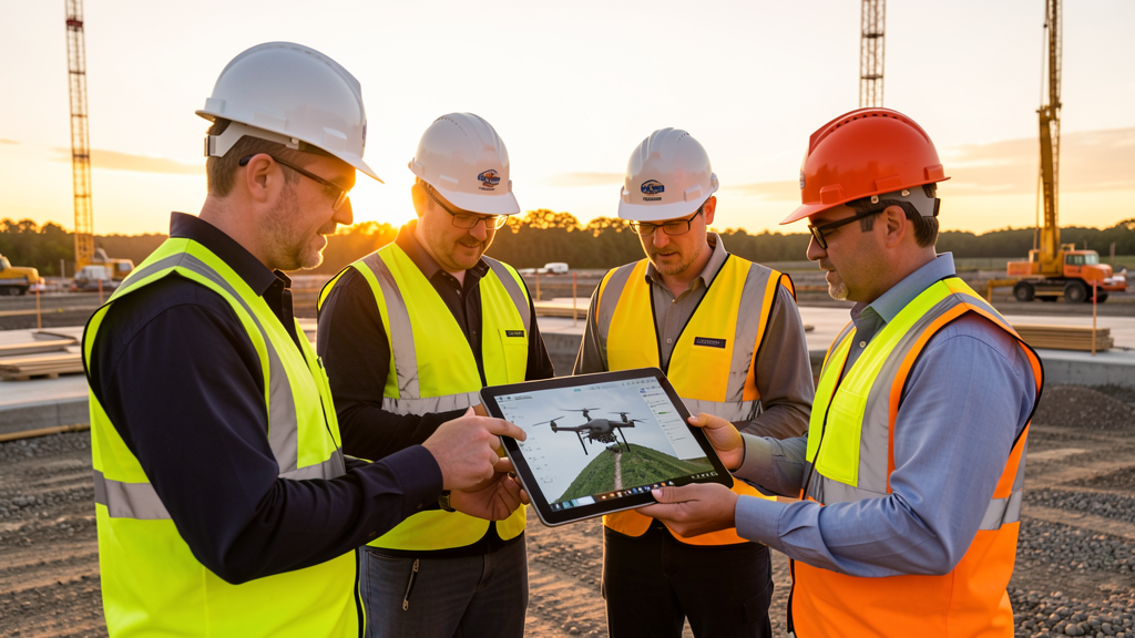
Aerius View connects project managers, developers, and decision-makers with trusted, local aerial surveyors. We built a platform that vets experts in drone surveying, streamlining the search process for efficient and reliable surveying solutions.
Finding a qualified drone surveyor shouldn't take days of Googling and cold-calling. Tell us what you need, and we route your request to vetted professionals in your area who have the right equipment and expertise for the job.
Our Story
Aerius View was born from a simple observation: the drone survey industry was growing fast, but the process of finding a qualified operator was still stuck in the past. Construction managers were wasting hours searching forums, scrolling directory listings, and calling operators who didn't serve their area or didn't have the right equipment.
Meanwhile, skilled FAA-certified drone operators were spending too much time on marketing and not enough time flying. They needed a better way to get in front of clients who actually needed their services.
Aerius View bridges that gap. We match project requirements with the right local professionals, verify their credentials, and let the work speak for itself. No middleman markups, no bloated platform fees, no unnecessary friction.
What We Stand For
Safety First
Every surveyor in our network holds an active FAA Part 107 Remote Pilot Certificate. No exceptions. We verify credentials before any contractor receives a lead.
Local Expertise
Drone regulations vary by city, county, and state. Our surveyors know their local airspace, restricted zones, and permitting requirements. That knowledge saves you time and prevents costly mistakes.
No Pressure, No Cost
Submitting a project request costs nothing. You are under no obligation to hire anyone we match you with. You only pay the contractor directly if you choose to proceed.
Fast Response
We know construction schedules are tight. Our network responds within 2 business days. Many surveyors respond same-day.
How We Vet Surveyors
Every surveyor in our network goes through a verification process before receiving any leads:
- FAA Part 107 verification. We confirm each operator holds an active Remote Pilot Certificate, required for commercial drone operations in the United States.
- Equipment review. We collect information about each operator's drone fleet, sensors, and processing software to match them with projects that fit their capabilities.
- Service area mapping. Operators define their coverage areas by zip code, so we only send them leads they can actually serve.
- Specialty matching. Not every drone operator does LiDAR. Not every operator does roof inspections. We match based on declared specialties to ensure the right fit.
- Ongoing quality monitoring. We track response times and client feedback. Contractors who consistently underperform are removed from the network.
Ready to Get Started?
Submit a project request or explore the services we offer.