Drone Survey Services in Sunrise Manor, NV
Eastern Las Vegas Valley with Sunrise Mountain residential slopes and Nellis AFB proximity
Serving Clark County & the Las Vegas Metropolitan Area area
Request a Free Quote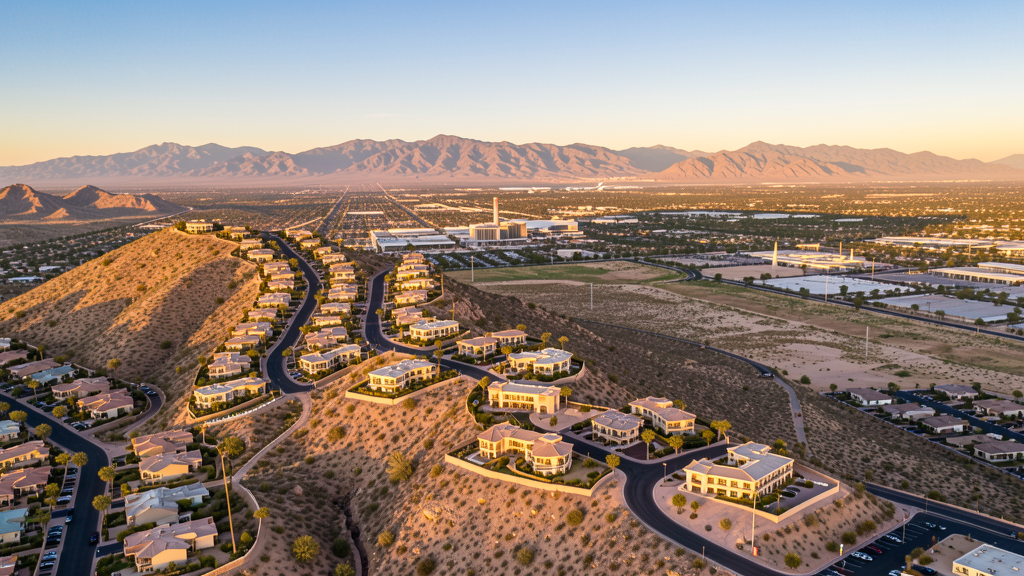
Get Matched With a Local Surveyor
Drone Survey Services Available in Sunrise Manor, NV
Sunrise Manor is a large CDP east of downtown Las Vegas with hillside residential development on Sunrise Mountain. The direct proximity to Nellis AFB restricted airspace to the north and Class B airspace overhead creates complex drone operating conditions, while hillside construction creates specialized survey demand.
Drone Surveys for Sunrise Manor's Construction Market
Sunrise Manor is a large CDP east of downtown Las Vegas, stretching from the city center to Sunrise Mountain. Construction is driven by residential development, commercial corridor projects along Charleston Boulevard and Nellis Boulevard, and institutional facilities. The area has ongoing residential renovation and infill development. The proximity to Nellis AFB creates military support facility demand. Sunrise Mountain residential development at the eastern edge creates hillside construction survey needs.
Active Developers in the Area:
- Residential developers — Hillside development on Sunrise Mountain and infill housing construction
- Commercial developers — Commercial corridor development along Charleston and Nellis Boulevards
- Institutional facilities — School and community facility construction

Typical Project Costs in Nevada
Cost ranges are based on market data for Las Vegas Metropolitan Area. Actual pricing depends on site size, complexity, and deliverables.
| Service Type | Low End | High End |
|---|---|---|
| Topographic Survey | $1,700 | $7,500 |
| Drone Inspection | $550 | $3,200 |
| LiDAR Scanning | $2,800 | $13,000 |
| Environmental Monitoring | $1,400 | $6,500 |
| Aerial Imagery | $350 | $2,200 |
| Construction Monitoring | $750 | $4,200 |
| Real Estate Photography | $300 | $1,800 |
| Roof Inspection | $350 | $1,800 |
Local Airspace & Regulations in Sunrise Manor, NV
FAA Part 107 Requirements
All commercial drone operations in Nevada require the pilot to hold an active FAA Part 107 Remote Pilot Certificate. Our network surveyors are verified Part 107 holders.
State Drone Laws
Nevada enacted AB 269 (2015), establishing the Governor Office of Economic Development UAS program and preempting local municipalities from regulating drone flight paths, airspace, or pilot licensing. SB 92 (2017) added privacy protections prohibiting drone surveillance of private property without consent and restricting weaponization. AB 487 (2019) further clarified that only the state may regulate UAS operations, preventing cities and counties from enacting their own drone flight restrictions. Nevada hosts major restricted military airspace including Nellis Air Force Base, Creech Air Force Base (home to MQ-1 Predator and MQ-9 Reaper operations), Naval Air Station Fallon, and the Nevada Test and Training Range — one of the largest restricted airspace complexes in the continental US. Commercial operators must hold a valid FAA Part 107 Remote Pilot Certificate. The state does not require a separate state drone license. Operators flying near military installations, the Nevada National Security Site, or tribal lands must coordinate with the controlling agency. Nevada desert terrain and extreme summer temperatures (frequently above 110 degrees in southern NV) significantly affect drone battery life and motor performance.
Local Ordinances
Sunrise Manor is an unincorporated CDP in Clark County and follows FAA Part 107 regulations. Under Nevada state law (AB 487, 2019), local municipalities cannot regulate drone flight paths. Nellis AFB to the north has extensive restricted airspace. Operators in northern Sunrise Manor should check sectional charts for the Nellis restricted boundary.
Restricted Airspace
- Harry Reid International Airport Class B airspace
- Nellis AFB restricted airspace (R-4806) directly to the north
- Sunrise Mountain and Frenchman Mountain terrain creates wind patterns
- Lake Mead National Recreation Area flight restrictions to the east (distance)
Airports in the area: Harry Reid International Airport (LAS), North Las Vegas Airport (VGT), Nellis Air Force Base (LSV)
Why Hire Through Aerius View in Sunrise Manor, NV?
FAA-Certified
Every surveyor holds an active Part 107 Remote Pilot Certificate.
Local to Sunrise Manor
Surveyors who know the Nevada airspace and local permitting.
No Cost to Quote
Submit your project at no charge. Pay the surveyor directly if you proceed.
Fast Turnaround
A local surveyor contacts you within 2 business days.
How Our Sunrise Manor Matching Process Works
We're actively building our network of FAA-certified drone operators in Sunrise Manor, NV. Here's exactly what happens when you submit a project request.
Submit Your Project
Tell us your site location, acreage, and what you need (topographic survey, LiDAR, inspection, etc.). Takes 60 seconds. No cost, no obligation.
We Match & Vet
We identify Part 107-certified operators in Nevada with the right equipment for your project. Every pilot is verified for active certification, insurance, and relevant experience in Nevada airspace.
You Get Quotes
Matched surveyors contact you within 2 business days with quotes. You compare pricing, timelines, and deliverables, then choose the right fit. You pay the surveyor directly, no markup.
What Deliverables Do You Get?
Every project includes professional-grade deliverables compatible with standard construction and engineering software:
- Orthomosaic maps (GeoTIFF) for site overview and documentation
- Point clouds (LAS/LAZ) for 3D modeling and volumetric analysis
- DEM/DSM terrain models for cut/fill and grade analysis
- Contour lines (DXF/DWG, CAD-ready) for Civil 3D and Revit
- Progress reports with side-by-side comparisons for construction monitoring
- Coordinate systems matched to your project datum (State Plane, UTM, or local)
Insurance & Liability Protection
Pilot Insurance Required
Every operator in our network must carry active liability insurance. Minimum coverage: $1,000,000 general liability. Proof of insurance is verified before any pilot joins the network.
FAA Part 107 Verified
We confirm each pilot's Remote Pilot Certificate is active and in good standing through the FAA Airmen Inquiry system. Expired certificates are flagged automatically.
Equipment Documentation
Pilots list their drone models, sensors (RGB, LiDAR, thermal, multispectral), and payload specs so we can match the right equipment to your project requirements.
Site Safety Coordination
Pilots coordinate with your site superintendent for safe operations on active construction sites, including flight plans that avoid worker areas and equipment zones.
Sunrise Manor, NV Drone Survey FAQs
How does Nellis AFB affect drone operations in Sunrise Manor?
Nellis AFB restricted airspace (R-4806) is directly north of Sunrise Manor. The base conducts fighter training and hosts the Thunderbirds. Drone operators in northern Sunrise Manor should check sectional charts for the restricted boundary and coordinate with Nellis if flights approach the zone. The proximity is closer than in most Las Vegas Valley areas.
Is Sunrise Manor in Las Vegas controlled airspace?
Sunrise Manor falls within the Harry Reid International Airport Class B airspace. Drone operators need LAANC authorization. The overlapping airspace from Class B and the Nellis AFB restricted zone to the north creates complex authorization requirements in the northern part of the CDP.
What drone services are most needed in Sunrise Manor?
Residential hillside development survey on Sunrise Mountain is a unique need. Commercial corridor construction monitoring along Charleston and Nellis Boulevards creates steady demand. Residential infill and renovation requires topographic surveys. The proximity to Nellis AFB creates potential military support facility survey demand.
Can I fly a drone on Sunrise Mountain?
Sunrise Mountain at the eastern edge of the CDP is a residential hillside area. Drone flights must follow Part 107 rules and have LAANC authorization for the Class B airspace. The mountain terrain creates challenging wind conditions, especially in afternoon. The hillside residential development creates aerial photography and construction monitoring demand.
How does Sunrise Manor summer heat affect drone flying?
Sunrise Manor experiences the same extreme heat as the rest of the Las Vegas Valley. The hillside areas on Sunrise Mountain can be slightly cooler due to elevation but still exceed 105 degrees in summer. The terrain creates thermal updrafts in afternoon that can affect drone stability. Plan flights for early morning.
What makes Sunrise Manor unique for drone survey?
Sunrise Manor has unique hillside residential development on Sunrise Mountain, requiring specialized topographic survey and construction monitoring for slope construction. The direct proximity to Nellis AFB restricted airspace creates a hard northern boundary. The area has a mix of older infill neighborhoods and new hillside development, creating diverse survey needs.
Nearby Cities
Are You a Drone Surveyor in Sunrise Manor?
Get pre-qualified leads in your service area. No membership fees, no monthly minimums. First lead free.
Ready to Start Your Project in Sunrise Manor, NV?
Get matched with a local, FAA-certified surveyor. No cost, no obligation.
Request a Free Quote