Drone Survey Services in Las Vegas, NV
Mojave Desert valley with Las Vegas Strip skyline and Spring Mountains backdrop
Serving Clark County & the Las Vegas Metropolitan Area area
Request a Free Quote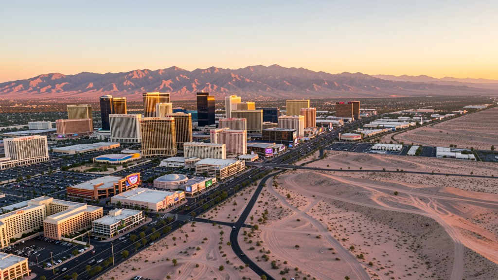
Get Matched With a Local Surveyor
Drone Survey Services Available in Las Vegas, NV
Las Vegas construction is driven by mega-projects: the MSG Sphere, Brightline West rail terminal, resort expansions, and massive residential development in Summerlin and the southwest valley. The Class B airspace and Nellis AFB restricted zone create complex airspace planning requirements.
Drone Surveys for Las Vegas's Construction Market
Las Vegas is experiencing massive construction driven by resort development, sports stadiums, and residential growth. Major projects include the $1.9 billion Allegiant Stadium area development, the MSG Sphere entertainment venue, Resorts World expansion, and the Brightline West high-speed rail terminal. Residential construction in the southwest and northwest valleys continues at pace. Data center development is accelerating due to low land costs and renewable energy access.
Active Developers in the Area:
- MSG Entertainment — MSG Sphere at the Venetian, a 366-foot spherical entertainment venue
- Brightline West — High-speed rail terminal connecting Las Vegas to Southern California
- Howard Hughes Corporation — Summerlin master-planned community development phases

Typical Project Costs in Nevada
Cost ranges are based on market data for Las Vegas Metropolitan Area. Actual pricing depends on site size, complexity, and deliverables.
| Service Type | Low End | High End |
|---|---|---|
| Topographic Survey | $2,000 | $9,000 |
| Drone Inspection | $700 | $4,000 |
| LiDAR Scanning | $3,500 | $16,000 |
| Environmental Monitoring | $1,800 | $8,000 |
| Aerial Imagery | $500 | $3,000 |
| Construction Monitoring | $900 | $5,000 |
| Real Estate Photography | $400 | $2,500 |
| Roof Inspection | $400 | $2,500 |
Local Airspace & Regulations in Las Vegas, NV
FAA Part 107 Requirements
All commercial drone operations in Nevada require the pilot to hold an active FAA Part 107 Remote Pilot Certificate. Our network surveyors are verified Part 107 holders.
State Drone Laws
Nevada enacted AB 269 (2015), establishing the Governor Office of Economic Development UAS program and preempting local municipalities from regulating drone flight paths, airspace, or pilot licensing. SB 92 (2017) added privacy protections prohibiting drone surveillance of private property without consent and restricting weaponization. AB 487 (2019) further clarified that only the state may regulate UAS operations, preventing cities and counties from enacting their own drone flight restrictions. Nevada hosts major restricted military airspace including Nellis Air Force Base, Creech Air Force Base (home to MQ-1 Predator and MQ-9 Reaper operations), Naval Air Station Fallon, and the Nevada Test and Training Range — one of the largest restricted airspace complexes in the continental US. Commercial operators must hold a valid FAA Part 107 Remote Pilot Certificate. The state does not require a separate state drone license. Operators flying near military installations, the Nevada National Security Site, or tribal lands must coordinate with the controlling agency. Nevada desert terrain and extreme summer temperatures (frequently above 110 degrees in southern NV) significantly affect drone battery life and motor performance.
Local Ordinances
Las Vegas follows FAA Part 107 regulations. Under Nevada state law (AB 487, 2019), only the state may regulate drone flight paths, preempting local ordinances. Operators flying near Nellis AFB must coordinate with military authorities. The Las Vegas Strip and resort corridors have dense pedestrian traffic requiring Part 107 compliance for flights over people.
Restricted Airspace
- Class B airspace around Harry Reid International (LAS) covering most of the Las Vegas Valley
- Nellis AFB restricted airspace (R-4806, R-4807) on the northeast side
- Creech AFB restricted airspace approximately 35 miles northwest (MQ-9 operations)
- Nevada Test and Training Range restricted airspace to the north and northwest
- Red Rock Canyon National Conservation Area flight restrictions to the west
Airports in the area: Harry Reid International Airport (LAS), North Las Vegas Airport (VGT), Henderson Executive Airport (HND), Nellis Air Force Base (LSV)
Why Hire Through Aerius View in Las Vegas, NV?
FAA-Certified
Every surveyor holds an active Part 107 Remote Pilot Certificate.
Local to Las Vegas
Surveyors who know the Nevada airspace and local permitting.
No Cost to Quote
Submit your project at no charge. Pay the surveyor directly if you proceed.
Fast Turnaround
A local surveyor contacts you within 2 business days.
How Our Las Vegas Matching Process Works
We're actively building our network of FAA-certified drone operators in Las Vegas, NV. Here's exactly what happens when you submit a project request.
Submit Your Project
Tell us your site location, acreage, and what you need (topographic survey, LiDAR, inspection, etc.). Takes 60 seconds. No cost, no obligation.
We Match & Vet
We identify Part 107-certified operators in Nevada with the right equipment for your project. Every pilot is verified for active certification, insurance, and relevant experience in Nevada airspace.
You Get Quotes
Matched surveyors contact you within 2 business days with quotes. You compare pricing, timelines, and deliverables, then choose the right fit. You pay the surveyor directly, no markup.
What Deliverables Do You Get?
Every project includes professional-grade deliverables compatible with standard construction and engineering software:
- Orthomosaic maps (GeoTIFF) for site overview and documentation
- Point clouds (LAS/LAZ) for 3D modeling and volumetric analysis
- DEM/DSM terrain models for cut/fill and grade analysis
- Contour lines (DXF/DWG, CAD-ready) for Civil 3D and Revit
- Progress reports with side-by-side comparisons for construction monitoring
- Coordinate systems matched to your project datum (State Plane, UTM, or local)
Insurance & Liability Protection
Pilot Insurance Required
Every operator in our network must carry active liability insurance. Minimum coverage: $1,000,000 general liability. Proof of insurance is verified before any pilot joins the network.
FAA Part 107 Verified
We confirm each pilot's Remote Pilot Certificate is active and in good standing through the FAA Airmen Inquiry system. Expired certificates are flagged automatically.
Equipment Documentation
Pilots list their drone models, sensors (RGB, LiDAR, thermal, multispectral), and payload specs so we can match the right equipment to your project requirements.
Site Safety Coordination
Pilots coordinate with your site superintendent for safe operations on active construction sites, including flight plans that avoid worker areas and equipment zones.
Las Vegas, NV Drone Survey FAQs
Can I fly a drone on the Las Vegas Strip?
The Las Vegas Strip has dense pedestrian traffic and is near Harry Reid International Airport Class B airspace. Drone operators need LAANC authorization for the Class B airspace and must comply with Part 107 rules for flying over people. Some resort properties have private restrictions on drone overflights. The area is heavily monitored by security.
How does Nellis Air Force Base affect drone operations in Las Vegas?
Nellis AFB on the northeast side of Las Vegas has restricted airspace (R-4806, R-4807). The base conducts fighter training and the Thunderbirds demonstration team is based there. Drone operators in northeast Las Vegas and North Las Vegas should check sectional charts for the restricted boundary and coordinate with Nellis if flights approach the zone.
What is the Nevada Test and Training Range and how does it affect drone flying?
The Nevada Test and Training Range (NTTR) north and northwest of Las Vegas is one of the largest restricted airspace complexes in the continental US. It supports Red Flag exercises and weapons testing. The restricted area is vast and frequently active. Operators flying north of the Las Vegas Valley should check NOTAMs and sectional charts carefully.
Can I fly a drone over Red Rock Canyon near Las Vegas?
Red Rock Canyon National Conservation Area is managed by the Bureau of Land Management. Drone flights over BLM National Conservation Areas are regulated. Check current BLM guidelines and obtain any required permits before flying in the conservation area west of Las Vegas.
How does Las Vegas summer heat affect drone operations?
Las Vegas summer temperatures frequently exceed 110 degrees. Extreme heat significantly reduces battery life, motor performance, and drone lift capacity. Operators should plan for very short flight times, avoid midday flights, and monitor battery temperature. Most professional drone work is scheduled for early morning or evening hours during summer months.
What construction projects are driving drone survey demand in Las Vegas?
Major projects include the MSG Sphere, Brightline West rail terminal, Allegiant Stadium area development, and massive residential construction in Summerlin and the southwest valley. Data center development is also accelerating. These large-scale projects create ongoing demand for construction monitoring, topographic survey, and progress documentation.
Nearby Cities
Are You a Drone Surveyor in Las Vegas?
Get pre-qualified leads in your service area. No membership fees, no monthly minimums. First lead free.
Ready to Start Your Project in Las Vegas, NV?
Get matched with a local, FAA-certified surveyor. No cost, no obligation.
Request a Free Quote